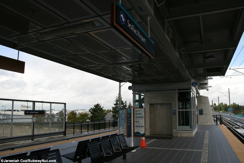
SeaTac/Airport was the southern terminus of the Central Link light rail from its opening as a one stop extension from the inital operating segment on December 19, 2009 to the opening of a one-stop extension to Angle Lake on September 24, 2016. The station services the main Seattle-Tacoma Internatoinal Airport.
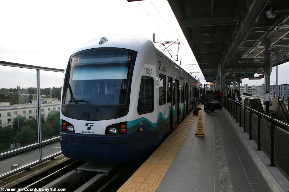
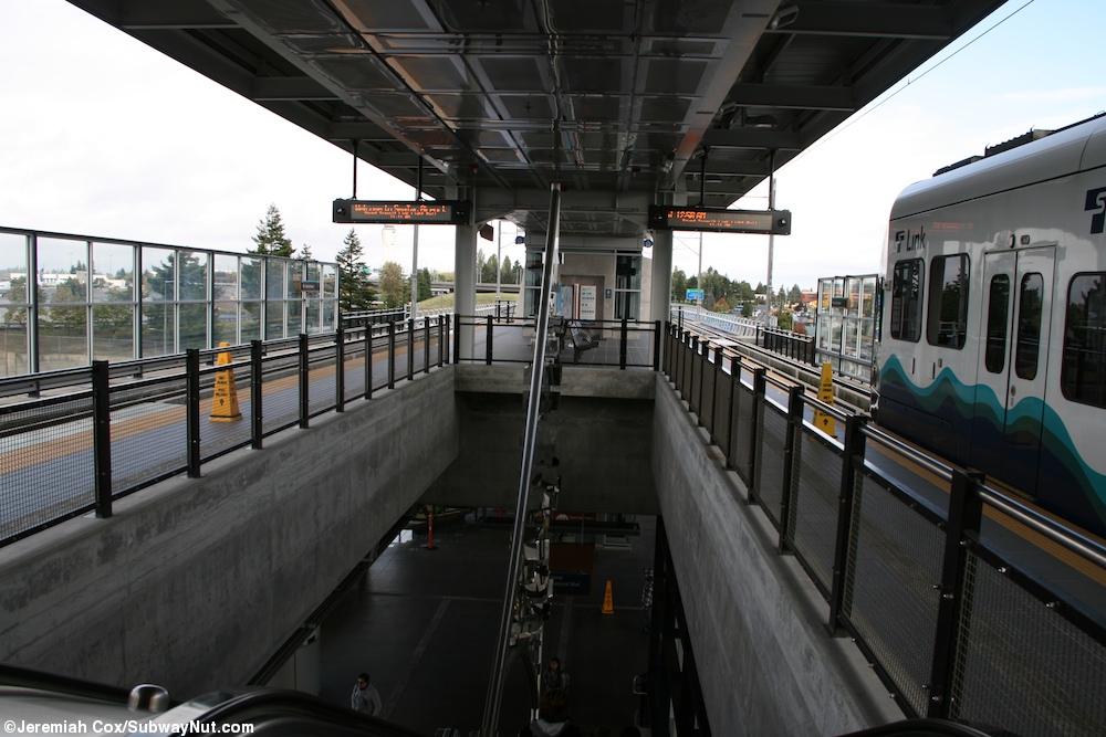
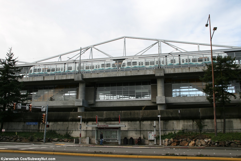
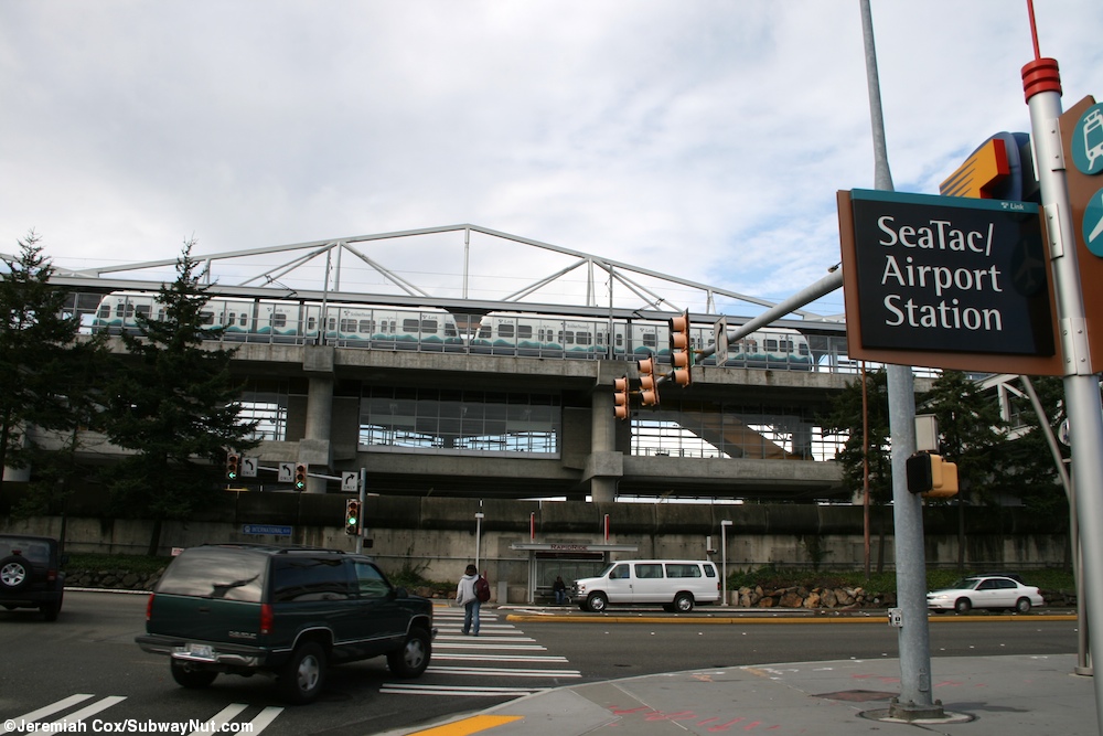
Trains at the station stop on a single elevated island platform. When the station was the southern terminus of the line, these tracks ended in bumper blocks just beyond the platform, trains used crossover switches before the station and relay inside it.
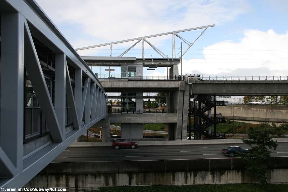
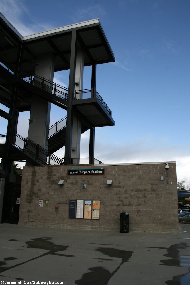
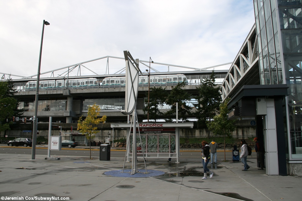
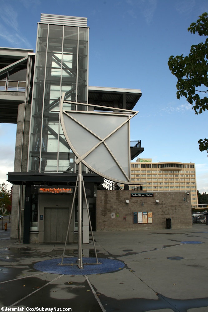
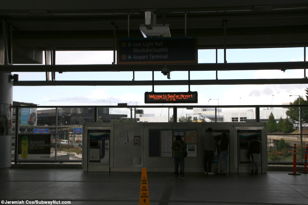
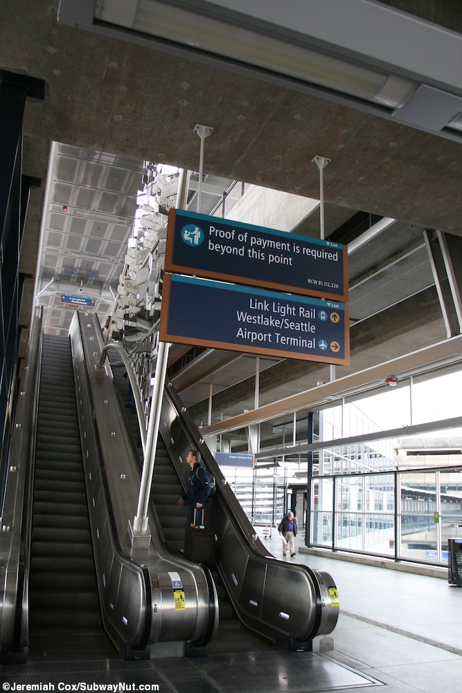
The station's single platform is located high above entrance roads to parking garages and the airport expressway. To exit the station passengers go one level down via one of two banks of up and down escalators or an elevator (the paid fare zones start and the bottom of these) to a glass walled mezzanine that runs the full length of the platform that includes numerous TVMs and some Airport style benches maybe for waiting for trains which isn't needed since service is so frequent. Above the openings on the platform for the staircases is Flying Sails by Werner Klotz, 35 stainless steel abstract sails. The northern one contains names of Northwest native tribes, the southern one has the names of cities on the same latitude as Seattle.
From here there are two exits, the first is a via a bridge across the Airport Expressway and International Blvd. On the bridge is Restless by Christian Moeller, a series of red bird deterrent propellers. This leads to a staircase and elevator shaft down to a plaza with a stop for the RapidRide A Line, one of two King County Metro BRT routes, that runs south to International Blvd. At the main plaza is Celestial Navigation by Fernando D'Agostino, a glass and metal sctupture that serves as a projector for a video (only playable at night) about "the cultures residing in the the SeaTac area and studies of flight." A slight design flaw of the system is that passengers must re-cross at a crosswalk (they already have via the bridge) to reach the southbound stop.
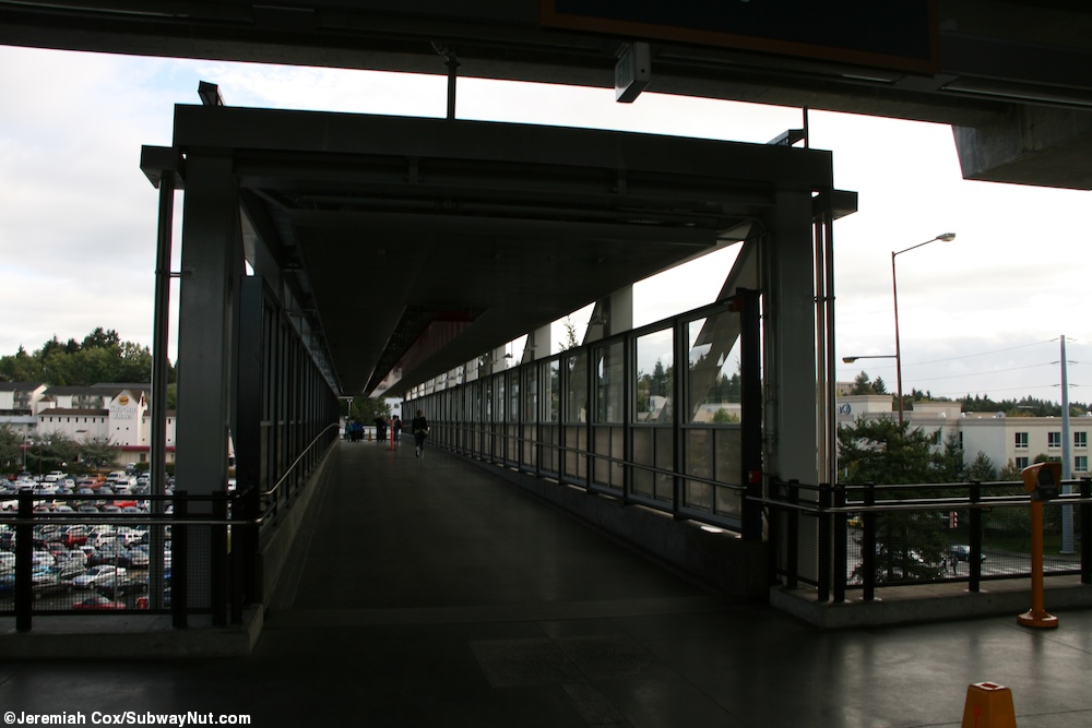
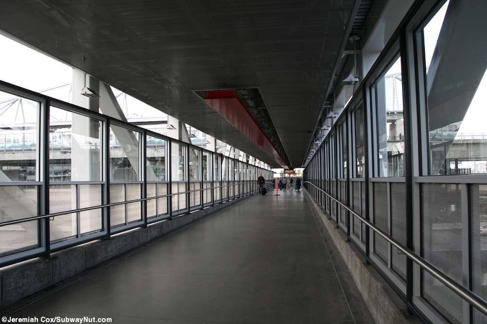
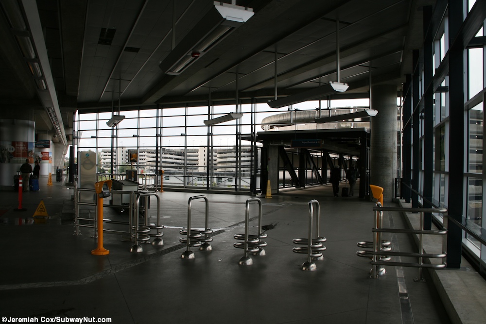
The other exit from the mezzanine leads to the Airport Terminal and it is one of the longer Train station to Airport terminal walks at about a quarter-mile to the nearest entrance to just one end of the main terminal and check-in area. The walk is almost entirely along a wide walkway on an intermediate level of the airport's short-term parking garage and is unfortunately unaided by moving walkways in a place where they would be perfect to have (there are a few angled turns and cutting through the parking garage is a more direct route to some of the airlines on the south side of the main terminal). There is an electric buggie cart service avalible for passengers who want assistance on this walk.
Passengers then must use one of six skybridges to the main terminal. Once passengers pass security they have access to the Satellite Transit System, three different underground peoplemover airport transit lines (with six stations in total) to reach the two satellites and six different concourses of the airport and the gates. It is a Bombardier system that uses 21 Innovia APM 100 vehicles.
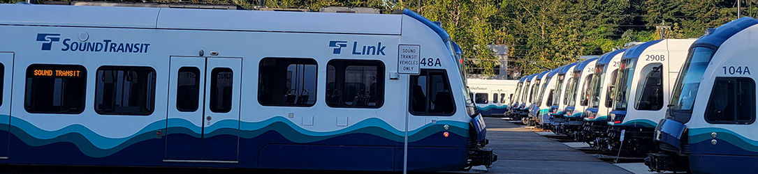
Photos 1-38 taken on 11 October, 2011, 39-46: 11 April, 2014; 47-49: October 9, 2022;


 Tukwila International Blvd
 Angle Lake